1950년 이후 가장 강력한 엘니뇨 현상이 예고되고 있다. 이로 인해 올겨울 한국에서는 한파 대신 비가 자… | The strongest El Niño phenomenon since 1950 is expected to occur. As a result, there is a possibility of frequent rain i
이 글의 핵심
- 세계기상기구(WMO)는 9월부터 11월까지 엘니뇨 상태가 지속될 확률을 100%로 발표했으며, 연말에는 '매우 강한' 수준에 도달할 것으로 전망했습니다.
- 상대 니뇨3.4 지수는 8월 기준으로 1950년 이후 가장 높은 수치를 기록했으며, 정점에서는 평년보다 3도 이상 상승할 것으로 예측됩니다.
- 한국에서는 엘니뇨가 발생하는 겨울에 기온이 상승하고 강수량이 많아지는 경향이 있지만, 다른 변수들이 있어 확정하기는 어렵습니다.
WMO의 100% 확률 전망이 발표되었습니다.
세계기상기구(WMO)는 9월 3일 엘니뇨와 라니냐에 대한 전망을 발표하며 9월부터 11월까지 엘니뇨 상태가 유지될 확률이 100%라고 밝혔습니다.
12월부터 내년 2월까지도 같은 확률인 100%로 제시되었습니다.
전망 기간 동안 해수면 온도가 평년 수준으로 돌아가거나 라니냐로 전환될 가능성은 없다고 판단했습니다.
엘니뇨는 열대 태평양의 해수면 온도가 평년보다 0.5도 이상 높은 상태가 5개월 이상 지속되는 현상입니다.
현재 해수면 온도가 기준을 초과하고 있어, WMO는 연말에 '매우 강한' 수준에 이를 것으로 예상했습니다.
12월부터 내년 2월까지 엘니뇨가 지속될 확률도 100%였습니다.
수온 편차, 어디까지 올라왔는지
감시구역의 해수면 온도는 지난 5월부터 7월까지 평년보다 1.5도 높았습니다.
7월에는 편차가 2.0도까지 증가했습니다.
7월 29일부터 8월 19일 사이에는 평년보다 2.2~2.6도 높은 온도를 기록했습니다.
한국 기상청은 8월 23일부터 29일까지 감시구역 수온이 평년보다 2.6도 높았다고 발표했습니다.
평년보다 2.0도 이상 높은 경우에는 공식 용어는 아니지만 일반적으로 '슈퍼 엘니뇨'라고 불립니다.
기후예측모델 14개를 종합한 결과, 오는 11월에는 편차가 3.9도까지 증가할 수 있다는 예측이 나왔습니다.
왜 1950년 이후 최강으로 평가되는지
호주 기상청의 상대 니뇨3.4 지수는 열대 바다 전체의 평균 상승분을 제외하고 엘니뇨의 강도를 측정하는 지표입니다.
펠리시티 갬블 선임기후학자는 8월의 월평균 추정치가 평년보다 2.2~2.3도 높았다고 밝혔으며, 이는 1950년 이후 가장 높은 수치입니다.
이 지수는 2월부터 7월까지 여섯 달 동안 2도 이상 증가했습니다.
같은 기간에 2도 이상 오른 사례는 관측 기록에 없다고 합니다.
예측모델들은 정점에서 평년보다 3도 이상 상승할 가능성을 제시했습니다.
이전 최고치는 1983년 1월에 관측된 2.6도였습니다.

엘니뇨 전망 한눈에
| 항목 | 확인 내용 |
|---|---|
| 현상 정의 | 감시구역의 해수면 온도가 평년보다 0.5도 이상 높은 상태가 5개월 이상 지속되었습니다. |
| 현재 강도 | 8월 하순에 평년 대비 2.6도 높았으며(기상청), 이는 통상적으로 '슈퍼 엘니뇨' 기준인 2.0도를 초과한 것입니다. |
| 역대 비교 | 상대 니뇨3.4 지수 8월 기준 1950년 이후 최고, 종전 최고는 1983년 1월 2.6도 |
| 정점 시기 | 올해 말~내년 초, 평년 대비 3도 이상 전망 |
| 지속 전망 | 2027년 2월까지 이어질 확률 100%에 근접(WMO) |
| 한국 영향 | 겨울 기온 높고 강수 많은 경향, 다른 변수 영향으로 단정은 어려움 |
세계 곳곳에서 이미 나타난 변화
동태평양 바다가 뜨거워지면 열대 지역에서 대기 파동이 전 지구로 퍼져 나가요.
예상욱 이화여대 기후에너지시스템공학과 교수는 이 파동이 세계 곳곳의 대기 순환을 평소와 다르게 바꾼다고 설명했어요.
실제로 해상 무역의 핵심 통로인 파나마 운하 일대는 가뭄으로 강수량이 평년보다 34% 줄어 물 부족 비상이 걸렸어요.
인도네시아에서는 건기와 엘니뇨가 겹치면서 곳곳에서 산불이 발생했고요.
뜨거워진 바다가 대기로 열을 내보내면서 지구 기온 자체를 끌어올린다는 점이 가장 큰 문제로 꼽혀요.
올겨울 한국, 패딩 덜 꺼내게 될까
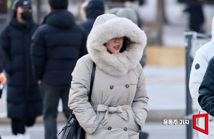
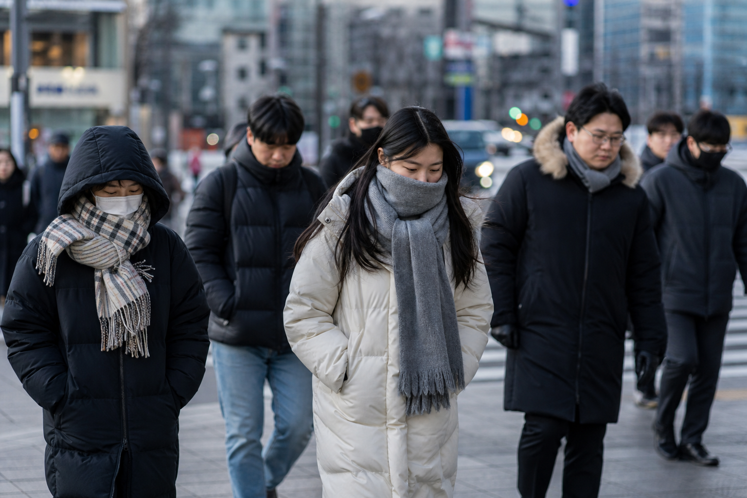
한국은 엘니뇨가 가장 강한 겨울철에 기온이 높고 강수량이 많아지는 경향을 보여요.
그래서 올겨울에는 한파 대신 비가 잦고 평년보다 따뜻할 가능성이 제기되고 있어요.
패딩을 덜 꺼내게 되는 것 아니냐는 이야기가 나오는 배경이에요.
다만 국내 겨울 날씨는 인도양과 서태평양의 해수면 온도, 북극 해빙 같은 여러 변수의 영향을 함께 받아요.
엘니뇨 하나만으로 기온과 강수량을 단정하기는 어렵다는 단서가 붙어요.
호주 기상청도 지수가 높다고 특정 지역의 폭염이나 가뭄이 그만큼 비례해 심해지는 것은 아니라고 했어요.
올겨울은 한파보다 비가 잦을 가능성, 다만 변수가 많아요
정점은 연말, 더위 기록은 내년이 유력
WMO는 이번 엘니뇨가 2027년 2월까지 이어질 확률이 100%에 가깝다고 분석했어요.
또 앞으로 5년 안에 역사상 가장 더운 해가 나타날 확률을 86%로 예상했고, 기록 경신이 가장 유력한 해로 내년을 꼽았어요.
안토니우 구테흐스 유엔 사무총장은 지구가 미지의 바다에 들어섰고 그 바다가 뜨거워지고 있다고 경고했어요.
엘니뇨 자체는 자연 변동이지만 최근 기후변화와 겹치면서 극한 날씨를 키우고 있다는 지적이 이어져요.
연말 정점을 앞두고 겨울철 기온과 강수 전망이 어떻게 갱신되는지 지켜볼 필요가 있어요. 🌏
The strongest El Niño phenomenon since 1950 is expected to occur. As a result, there is a possibility of frequent rain i
English version of the article above.
The core of this article
- The World Meteorological Organization (WMO) announced a 100% probability that El Niño conditions will persist from September to November, predicting that it will reach a 'very strong' level by the end of the year.
- As of August, the relative Niño 3.4 index recorded its highest level since 1950, with predictions indicating a rise of more than 3 degrees above normal at its peak.
- In South Korea, winters with El Niño tend to see higher temperatures and increased precipitation, but other variables make it difficult to confirm this trend.
The WMO's 100% probability forecast has been released.
On September 3, the World Meteorological Organization (WMO) announced its outlook for El Niño and La Niña, stating that there is a 100% chance of El Niño conditions being maintained from September to November.
The same probability of 100% was also projected for the period from December to February next year.
It was assessed that there is no possibility of sea surface temperatures returning to normal or transitioning to La Niña during the forecast period.
El Niño is a phenomenon characterized by sea surface temperatures in the tropical Pacific being at least 0.5 degrees higher than normal for more than five months.
Currently, sea surface temperatures exceed the threshold, leading the WMO to anticipate that it will reach a 'very strong' level by the end of the year.
The probability of El Niño persisting from December to February next year is also 100%.
Sea temperature anomalies, how high have they risen
The sea surface temperature in the monitoring area was 1.5 degrees higher than normal from May to July.
In July, the anomaly increased to 2.0 degrees.
Between July 29 and August 19, temperatures recorded were 2.2 to 2.6 degrees higher than normal.
The Korea Meteorological Administration announced that the sea surface temperature in the monitoring area was 2.6 degrees higher than normal from August 23 to 29.
When the temperature is more than 2.0 degrees above normal, it is generally referred to as 'Super El Niño,' although this is not an official term.
A synthesis of 14 climate prediction models indicated that the anomaly could increase to 3.9 degrees in November.
Why it is considered the strongest since 1950
The relative Niño 3.4 index from the Australian Bureau of Meteorology measures the intensity of El Niño by excluding the average rise across the entire tropical ocean.
Senior climatologist Felicity Gamble reported that the monthly average estimate for August was 2.2 to 2.3 degrees higher than normal, the highest level since 1950.
This index increased by more than 2 degrees over six months from February to July.
There are no recorded instances of such an increase of over 2 degrees during the same period.
Prediction models suggest the possibility of temperatures rising more than 3 degrees above normal at their peak.
The previous record was 2.6 degrees observed in January 1983.
El Niño forecast at a glance
| Item | Verification details |
|---|---|
| Definition of the phenomenon | The sea surface temperature in the monitoring area has been more than 0.5 degrees higher than normal for over five months. |
| Current intensity | At the end of August, it was 2.6 degrees higher than normal (according to the Meteorological Administration), exceeding the typical 'Super El Niño' threshold of 2.0 degrees. |
| Historical comparison | Relative Niño 3.4 index in August reached its highest level since 1950, with the previous record being 2.6 degrees in January 1983. |
| Peak period | Forecast for the end of this year to early next year predicts more than 3 degrees above normal |
| Sustained forecast | The probability of it continuing until February 2027 is close to 100% (WMO) |
| Impact on Korea | There is a tendency for higher winter temperatures and increased precipitation, but it is difficult to make definitive conclusions due to other influencing variables. |
Changes have already been observed around the world.
When the Eastern Pacific Ocean warms, atmospheric waves spread from tropical regions across the globe.
Professor Eo Sang-wook from Ewha Womans University’s Department of Climate and Energy Systems Engineering explained that these waves alter atmospheric circulation patterns worldwide in unusual ways.
In fact, the Panama Canal area, a key maritime trade route, has experienced a drought, resulting in a 34% decrease in precipitation compared to the average, leading to a water shortage emergency.
In Indonesia, the dry season coinciding with El Niño has caused wildfires in various locations.
The biggest issue is that the warming oceans are releasing heat into the atmosphere, which raises the Earth's overall temperature.
Will Koreans need to pull out their winter jackets less this winter?
Korea tends to experience higher temperatures and increased precipitation during winters when El Niño is strongest.
Therefore, this winter, there is a possibility of more frequent rain and warmer temperatures instead of cold waves.
This is the background for discussions about whether jackets will be used less.
However, domestic winter weather is influenced by various factors, including sea surface temperatures in the Indian Ocean and Western Pacific, as well as Arctic sea ice.
It is noted that it is difficult to make definitive predictions about temperature and precipitation based solely on El Niño.
The Australian Bureau of Meteorology also stated that a high index does not necessarily mean that heatwaves or droughts in specific regions will worsen proportionally.
This winter is likely to see more rain than cold waves, but there are many variables at play.
The peak is expected at the end of the year, with record heat likely next year.
The WMO analyzed that the probability of this El Niño continuing until February 2027 is close to 100%.
They also predicted an 86% chance that the hottest year in history will occur within the next five years, with next year being the most likely candidate for breaking records.
UN Secretary-General António Guterres warned that the Earth has entered an unknown ocean, which is warming.
While El Niño itself is a natural fluctuation, it has been pointed out that it is exacerbating extreme weather in conjunction with recent climate change.
As we approach the year-end peak, it is important to monitor how winter temperature and precipitation forecasts are updated. 🌏
댓글
댓글 쓰기